PROBLEM


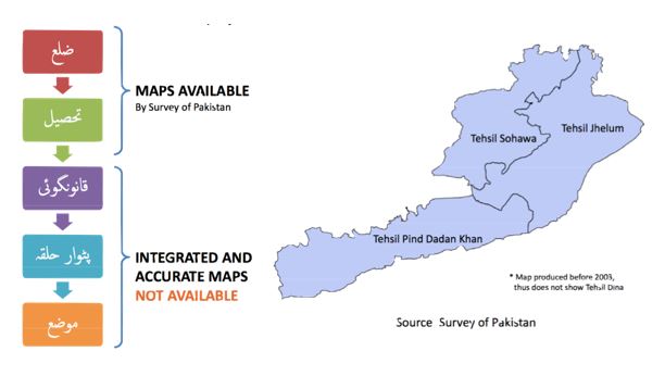
There was a non-availability of mauza boundaries which prevented visualization of socio-economic data like population census on maps at such granularity.
APPROACH


Scanned British era land revenue maps using a custom low-cost contact-less scanner. The scanned images were processed and stitched to produce mauzas which were then fit together as a mosaic. Then, geo-referenced mauza layer with satellite imagery.
PROCESS
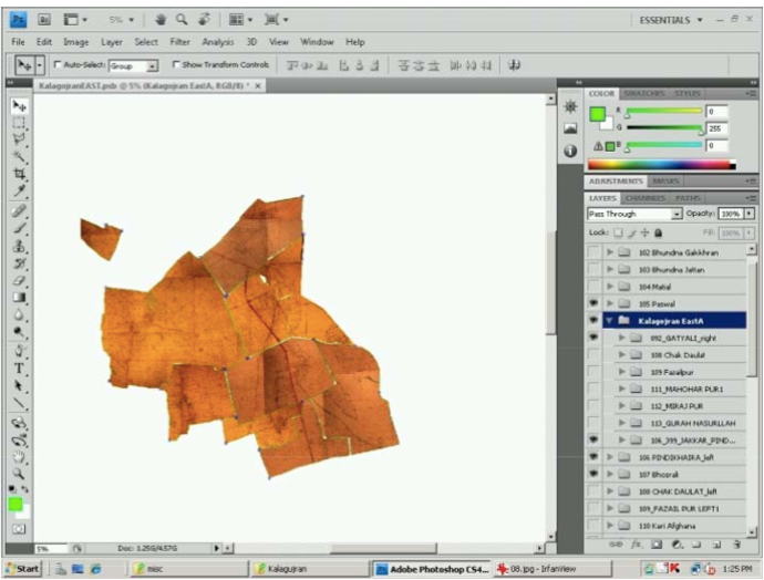
Land revenue maps were scanned using a custom low-cost contact-less scanner.

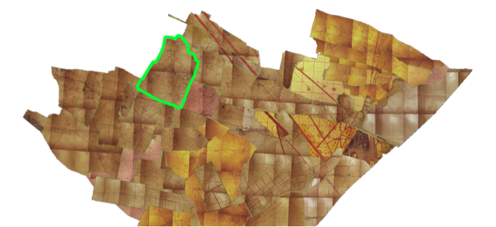
The scanned images were then processed and stitched to produce mauzas.
The mauzas were fit together like a puzzle in a software.

The mauza layer was then geo-referenced with satellite imagery.